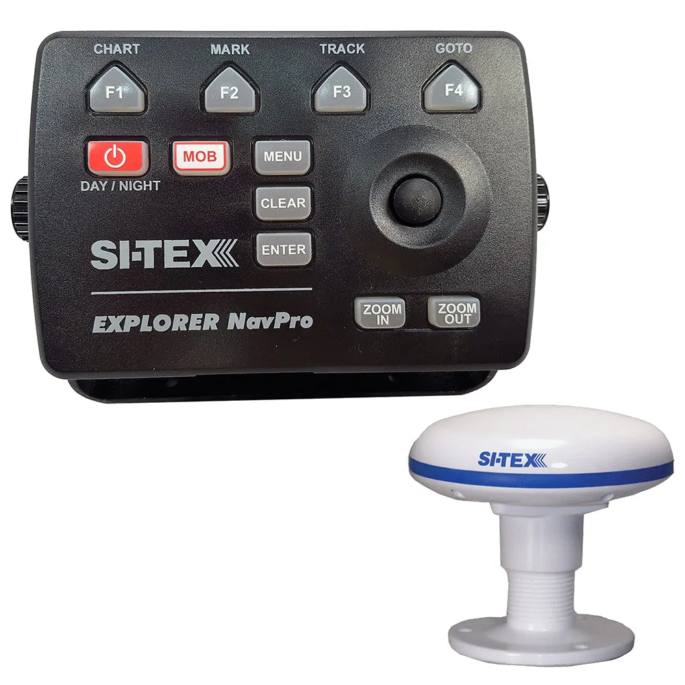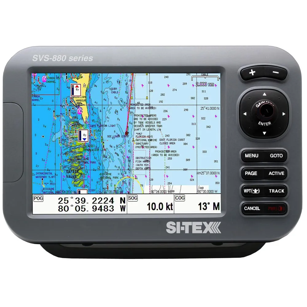
SI-TEX Standalone 8″ Chartplotter System w/Color LCD, Internal & External GPS Antenna & C-MAP 4D Card
Original price was: $971.99.$194.40Current price is: $194.40.

Description
Standalone 8″ Chartplotter System with Color LCD, Internal & External GPS Antenna & C-MAP 4D Card
The SI-TEX SVS-880CE+ is a powerful big-screen performer designed to fit every boat and budget. This compact chartplotter and chartplotter/sonar system delivers the goods for any vessel, from center console skiffs to sailboats to light commercial boats.
Differences between SVS-880CE & SVS-880CE+
- The SVS-880CE+ has an updated Android processor and it only uses C-Map 4D cartridges.
Features:
- 8″ high-resolution color LCD and compact case
- 52-channel GPS
- “Dual fuel” charting the C-MAP and Navionics cartography
- Global GPS compatibility
- Brilliant LED backlighting for daylight readability
- Easy, intuitive operation and control
- Video input for underwater and on-deck cameras
- Weather protector cover included
General Specifications:
- Display Screen SVS-880CE+: 8-inch Color LCD with LED backlight
- Resolution SVS-880CE+: SVGA (800 x 600 pixels)
- Power Supply: DC 12V-36V(±10%) SVS-880: 4W(without sonar)/ 6W(with sonar
- Operating Temperature: Display Unit -15 degrees C to +50 degrees C, Antenna Unit -25 degrees C to +70 degrees C
- Performance Standard: IMO Resolution MSC.112(73)
Chartplotter Specifications:
- Display Method: Mercator Projection
- Display Mode: True motion / N/S/E/W up / Course up / Head up
- Latitude Limits: Between 85 degrees N to 85 degrees S
- Map Scale: 0.05nm to 1500nm
- Map Datum: WGS-84 6
- Waypoints: 20,000 points *Total of 16 colors and 16 icons are selectable for each point with a name tag (6 alphanumeric characters)
- Track Points: 50,000 points (2 types)
- Route: Max capacity 100 Routes *20 WPTs per each Route. Each with name tags (8 alphanumeric characters)
- Draw Point: 1,000 points
- Area Name: 1,000 points
- Chart Data: Standard w/Navionics Gold C-MAP MAX optional
- Output Data: NMEA-0183
- Input Data: NMEA-0183
- Alarm Arrival, Anchor, XTE, Interval timer, Userline
GPS Receiver Specifications:
- GNSS Receiver Capabilities: GPS – L1 C/A code, GLONASS – L1OF/, QZSS – L1 C/A code, Galileo – E1B/E1C/L1
- Number of Channels: 52 channels
- Horizontal Positioning Accuracy: Autonomous 2.5m (CEP 50%)
- Sensitivity: Acquisition -148 dBm, Tracking -165 dBm, Reacquisition -162 dBm, Nav Update 1Hz, 5Hz)